 by
by Authorities in Lahore Capture Indian Surveillance Drone: A Rising Concern for Regional Security
In a significant development that has raised questions about regional stability and cross-border relations, authorities in Lahore have reportedly captured an Indian surveillance drone. The incident, which unfolded near the eastern border of Pakistan, has drawn the attention of security agencies, media outlets, and defense analysts, sparking debates on the escalating technological race in intelligence gathering between the two neighboring countries.
The Incident
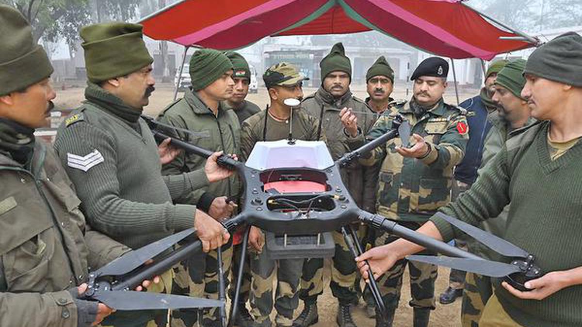
According to security officials, the unmanned aerial vehicle (UAV) was intercepted in Pakistani airspace before it could complete its reconnaissance mission. The drone, equipped with high-resolution cameras and advanced navigation systems, was reportedly flying at low altitude when it was detected by ground surveillance units.
Eyewitnesses in nearby villages claim to have seen the small aircraft hovering suspiciously over agricultural land before it was brought down. Authorities have not disclosed the exact methods used to capture the drone, but unverified reports suggest the use of electronic jamming equipment to disrupt its control signals.
Possible Objectives of the Surveillance Mission
Military experts point out that such drones are typically deployed for reconnaissance purposes — mapping terrain, monitoring troop movements, and gathering imagery of strategic installations. Given the proximity to sensitive military and border infrastructure, the captured drone could have been part of an intelligence operation aimed at collecting data for future planning.
India and Pakistan have a long history of border tensions, particularly along the Line of Control (LoC) and the international border in Punjab. The deployment of surveillance drones is not new, but the direct capture of such technology inside urban or semi-urban Pakistani territory marks a concerning escalation.

Reaction from Authorities
The captured drone has been taken to a secure facility for forensic examination. Security analysts and engineers are reportedly working to extract data from the UAV’s onboard memory to determine the scope of the mission and the nature of the intelligence gathered.
A senior Pakistani security official stated, “This is a clear violation of our airspace and sovereignty. The evidence recovered from this drone will help us understand the scale and intent behind this intrusion.”
So far, there has been no official comment from Indian defense authorities, although in similar past incidents, India has either denied the allegations or downplayed the events as accidental border crossings.
Diplomatic Implications
The interception of a foreign surveillance drone carries weighty diplomatic consequences. Pakistan may raise the matter at international forums or lodge a formal protest through diplomatic channels. Such incidents often become flashpoints in already fragile relations, potentially leading to heightened border security and military alertness on both sides.
For the global community, the event underscores the ongoing tensions in South Asia and the fragile trust between two nuclear-armed neighbors. While drones are an increasingly common tool in modern warfare and intelligence operations, their use in contested or sensitive airspace brings significant risks of miscalculation.
The Growing Role of Drones in Modern Espionage
Over the last decade, unmanned aerial vehicles have revolutionized surveillance and reconnaissance capabilities. Compact, cost-effective, and hard to detect, they have become a preferred choice for gathering intelligence without putting human pilots at risk.
Both Pakistan and India have invested heavily in developing and acquiring advanced UAV technology. This includes indigenous manufacturing, as well as procurement from foreign defense suppliers. While drones are frequently used for counter-terrorism operations and border monitoring, their deployment in contested airspace often blurs the line between routine surveillance and outright provocation.
Public and Media Response

The news of the captured drone quickly spread on social media, where public opinion was sharply divided. Many users condemned the intrusion, calling for stronger defensive measures and accountability from the Indian side. Others urged restraint, warning that overreaction could further inflame tensions.
Television channels and newspapers have been running detailed segments on the incident, showing images of the drone and analyzing its potential capabilities. Some commentators have even linked the event to a broader pattern of technological intelligence gathering along the border.
What Comes Next?
While the drone’s capture is a notable tactical success for Pakistani authorities, the real impact will depend on what can be extracted from its data storage systems. If the UAV contains detailed maps, photographs, or communications logs, it could provide valuable insight into Indian intelligence priorities and operational planning.
For now, security has been tightened in the region, with increased aerial monitoring and rapid response teams on standby. Border villages have also been briefed on identifying and reporting suspicious aerial activity.
Conclusion
The capture of an Indian surveillance drone in Lahore serves as a stark reminder of the ever-present tension between Pakistan and India. It highlights the evolving nature of modern espionage, where technology plays as much a role as traditional military maneuvers.
While it remains to be seen how this incident will be addressed diplomatically, one thing is clear: the skies above the South Asian subcontinent are becoming an increasingly contested domain. In an age where information is as valuable as military firepower, controlling the airspace is no longer just about defense — it’s about protecting national sovereignty in the face of rapidly advancing surveillance technologies.